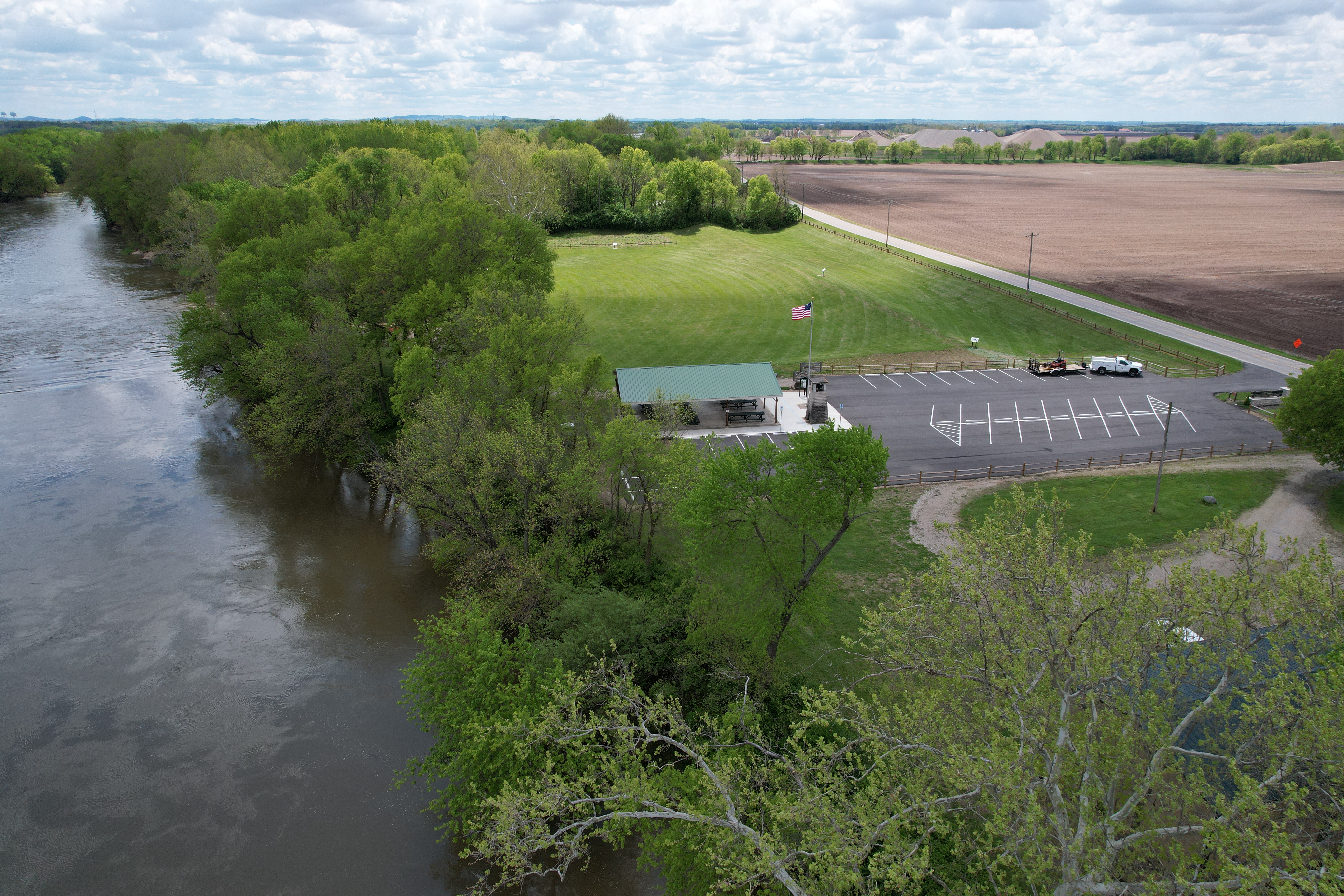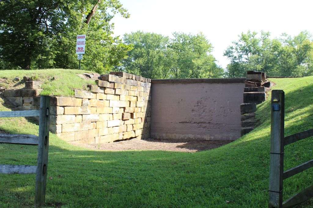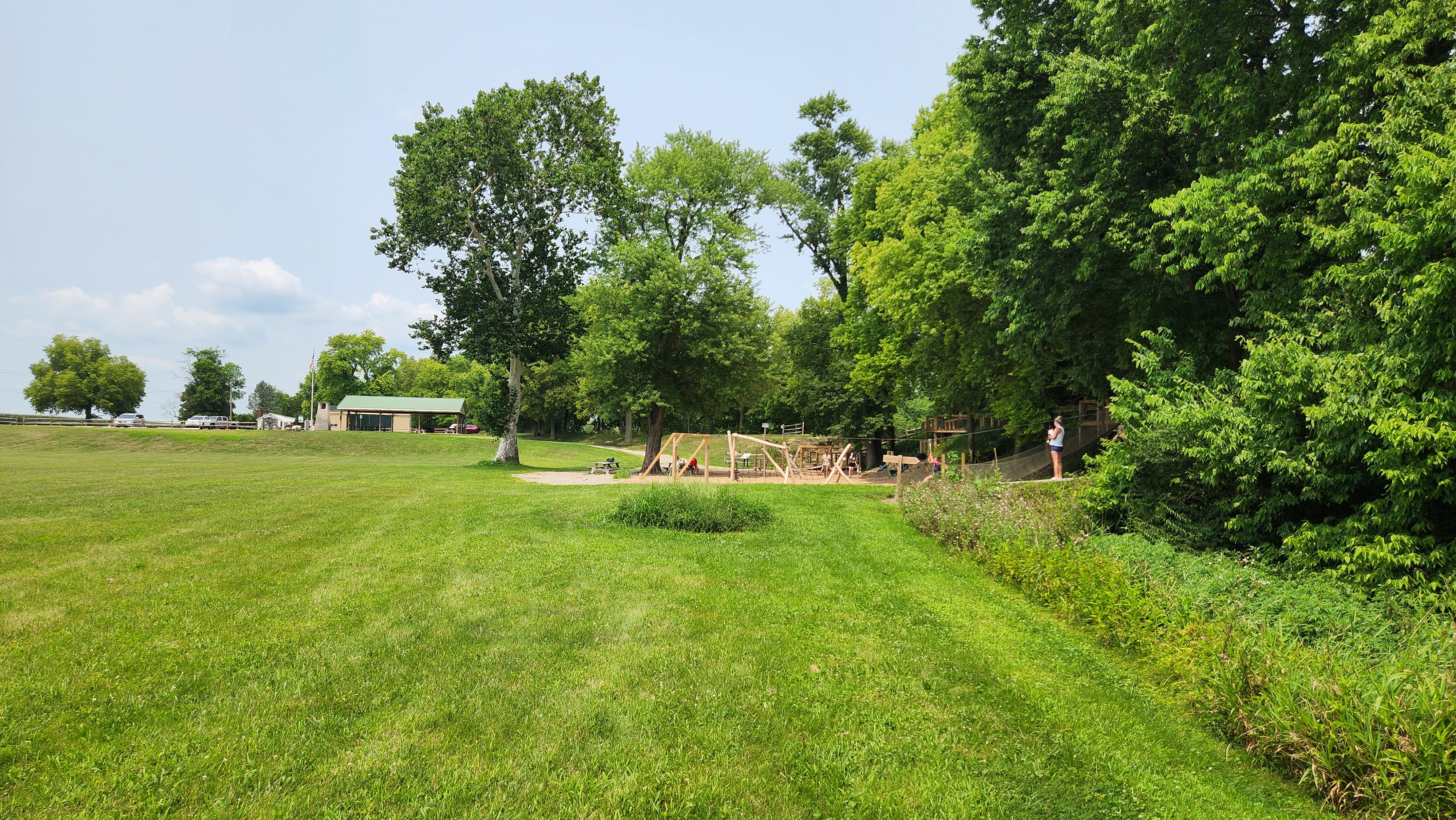


Canal Park is a stop along the Ohio & Erie Canal Southern Descent Heritage Trail which extends from Buckeye Lake to the Ohio River at Portsmouth, passing through six counties in South Central Ohio. Buckeye Lake, which is the oldest state park in Ohio, is a man-made lake designed to provide a steady supply of water as the canal descended to the Ohio River.
The canal was one of two built by the State of Ohio between the 1820s and the 1850s. Both connected Lake Erie with the Ohio River and, along with several other publicly- and privately-built canals, helped make Ohio a major agricultural and industrial state. In the 1850s, however, a new transportation technology – the railroad – quickly supplanted the slow and seasonal canal boats as both freight and passenger carriers. Even so, parts of the canals remained in use into the early 20th century, in part because they provided water power in the era before electrification of industry. Final abandonment of the canals came after the floods of 1913, but even today many canal features survive in various states of preservation. Some portions still contain water and serve practical uses such as boat anchorages, industrial water supply, and a state fish hatchery.
The canal linked Lake Erie and the Ohio River and had a significant impact on the state’s economy as well as playing a role in the vitality of the communities through which it passed. The trail goes through historic communities and scenic landscapes. You can spend a few hours or several days in exploration. Explore the trail here


