
SCIOTO RIVER
*CAUTION*
Between the U.S. 22 Bridge (Elmon Richards Access) and Canal Park there is a low head dam.
ABOUT
The Scioto River is the Largest River In Pickaway County. This river is 231 miles long and about 30 River miles are in Pickaway County. The Scioto River headwaters are in Auglaize County and the river feeds the Ohio River down in Portsmouth. The Scioto River is the longest river that in Ohio that is completely encompassed by the state. Be sure to check the flows of this river before planning your trip to avoid dangerous water conditions.
**Make sure to review your paddle safety here.
**Make sure to review your paddle safety here.
Plan Your Next Visit:
Scioto River
Scioto River


BIG DARBY CREEK
Big Darby Creek is the only State and National Scenic River in Pickaway County. The total river system is 85.9 miles long and about 24.8 miles of this river is in Pickaway County. Big Darby Creek is an important tributary to the Lower Scioto River. There are over 100 recorded fish and 44 mussel species found in this river and many of these species are either endangered or threatened.
To protect our National Scenic River, and to minimize habitat disturbance please do not paddle when flow is below 150 CFS. Please check here and look for the number after “discharge, cubic feet per second."
**Make sure to review your paddle safety here.
To protect our National Scenic River, and to minimize habitat disturbance please do not paddle when flow is below 150 CFS. Please check here and look for the number after “discharge, cubic feet per second."
**Make sure to review your paddle safety here.
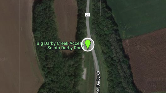
Plan Your Next Visit:
Big Darby Creek
Big Darby Creek


DEER CREEK
Deer Creek is a tributary of the Scioto River and the most well now section of this river is Deer Creek Lake reservoir which is a state park. Be sure to check the flows of this river before planning your trip to avoid dangerous water conditions.
**Make sure to review your paddle safety here.
**Make sure to review your paddle safety here.
Plan Your Next Visit:
Deer Creek
Deer Creek


